Google Earth 7.3.6.10155 freeware

Google Earth is a powerful geospatial tool that allows users to explore our planet like never before. With stunning 3D imagery, satellite views, and detailed maps, it transforms geographical data into an engaging experience. Users can virtually travel to any location, view landmarks, and even dive into historical imagery. The intuitive interface and rich features, such as guided tours and the ability to create custom maps, make it accessible for everyone—from casual explorers to educators and ... ...

Author Google
Released 2024-12-16
Filesize 59.50 MB
Downloads 12388
OS Windows 11, Windows 10 32/64 bit, Windows 8 32/64 bit, Windows 7 32/64 bit, Windows Vista, Windows XP 32/64 bit
Installation Instal And Uninstall
Keywords Google Earth, earth, mapping, planet, explore, virtual tours, get direction, zoom, 3D visualization, Google Earth free download, explore earth
Users' rating
(79 rating)
Google EarthOtherWindows 11, Windows 10 32/64 bit, Windows 8 32/64 bit, Windows 7 32/64 bit, Windows Vista, Windows XP 32/64 bit
Google Earth - high quality Freeware Download Notice

Google Earth Free Download - we do not host any Google Earth torrent files or links of Google Earth on rapidshare.com, depositfiles.com, megaupload.com etc. All Google Earth download links are direct Google Earth download from publisher site or their selected mirrors.

Google Earth freeware - The Latest User Reviews
Google Earth freeware - The Latest Versions History
7.3.6.10155 Dec 16, 2024 New Release Movie Maker tool:
Hardware-accelerated video encoding for faster processing and better image quality.
HEVC (H.265) codec support.
Full navigation controls, including Historical Imagery and Street View, available in live recording mode.
Better responsiveness during live recording.
Can defer video encoding until after live recording is finished.
In live recording mode, less obtrusive recording status dialog.
Live recordings accurately show the timing of user actions during the recording session.
Save video frames in QOI image format.
Break apart a Multi Geometry place mark into individual place marks.
Combine multiple selected place marks into a single Multi Geometry place mark.
Import GeoJSON files.
Improved printing tool quality.
Save Image tool:
Increased maximum image size.
PNG format support.
Adjusted Google Earth logo size in main view, saved images, and printouts.
Automatically support high-DPI displays.
Regionate tool supports KML Schema extended data.
Consistently save KML files with no changes from session to session.
Correctly import CSV files with values that contain quotation marks.
Edit KML LinearRing place mark line style.
Other minor fixes and improvements.
7.3.6.9750 Jan 18, 2024 New Release
7.3.6.9345 Jan 4, 2023 New Release

Most popular Other freeware downloads

LTspice IV

24.1.6 freeware download

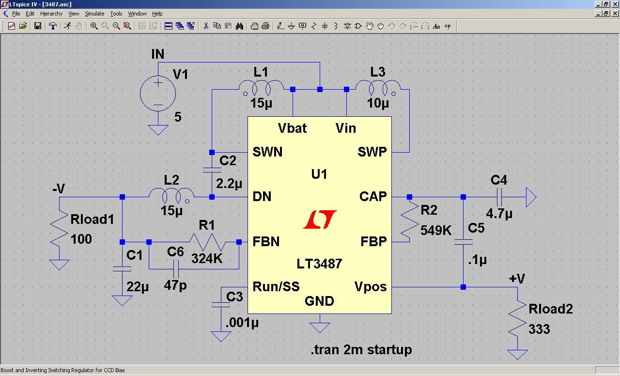
LTspice, developed by Linear Technology, is a high-performance SPICE simulation software that has become a staple ... compromising on functionality or performance. This democratization of high-quality simulation tools has contributed to its widespread adoption ...

New Version

VariCAD Viewer

2025 1.06 freeware download

... work with intricate and detailed designs that require high levels of precision. The software’s rendering capabilities ensure ... at VariCAD is known for their commitment to quality and user satisfaction, which is evident in the ...

Panoply

5.6.0 freeware download

... Panoply's standout features is its ability to generate high-quality, customizable visual representations of data. Users can effortlessly ... robust data visualization tools without the burden of high costs. In summary, Panoply by Robert B. ...

New Version

Google Earth

7.3.6.10155 freeware download

... ocean. The level of detail is astounding, with high-resolution imagery that brings landscapes and cityscapes to life. ... we interact with our planet. Its blend of high-quality imagery, informative layers, and interactive features makes it ...

Pad2Pad

1.9.157 Build 4750 freeware download

... ensures that your projects are built with reliable, high-quality parts. Additionally, the software supports custom component creation, giving you the freedom to innovate without constraints. ...

yoshinoGraph

7.0.2 freeware download

... of the standout features of yoshinoGRAPH is its high degree of customization. Users can tweak almost every ... is ready, yoshinoGRAPH provides multiple export options, including high-resolution image formats and vector graphics. This ensures that ...

Octave

9.3.0 freeware download

Octave, developed by John W. Eaton, is a high-level programming language primarily designed for numerical computations. It ... plotting capabilities are robust, allowing users to generate high-quality 2D and 3D visualizations. These visualization tools are ...

5 freeware award

Gnuplot for Mac OS X

6.0.1 freeware download

... ensures a seamless experience, allowing users to create high-quality 2D and 3D plots effortlessly. The software supports ... powerful tool. In summary, gnuplot is a highly capable and reliable graphing utility that excels in ...

ShelXle

1.0 Revision 1682 freeware download

ShelXle is a sophisticated and highly specialized software tool developed by Christian Hubschle, designed ... is both detailed and customizable. Users can generate high-quality publication-ready images, with options to adjust colors, labels, ...

C2A

2.1.14 freeware download

... by seasoned astronomers. The interactive sky map is highly detailed and can be customized to display various ... CCD cameras, facilitating astrophotography and the capture of high-quality images of the night sky. Another notable ...