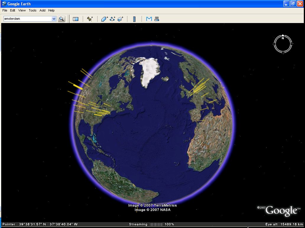
GoogleEarthTweaker 1.08 freeware
If you use Google Earth to prepare for your Geocaching trips, then you'll ... it easier by preparing your GPX files for Google Earth. Now you can see which caches you've already visited, which ones are out-of-order and which ones you own. Requires GPX files with the cache information. ...
| Author | ITSTH |
| Released | 2007-12-20 |
| Filesize | 300 kB |
| Downloads | 954 |
| OS | Windows XP, Windows 2000, Windows 2003, WindowsVista, Windows 7 x32, Windows 7 x64, Windows Vista, Windows Vista x64 |
| Installation | No Install Support |
| Keywords | Google Earth |
| Users' rating (9 rating) |
GoogleEarthTweaker Free Download - we do not host any GoogleEarthTweaker torrent files or links of GoogleEarthTweaker on rapidshare.com, depositfiles.com, megaupload.com etc. All GoogleEarthTweaker download links are direct GoogleEarthTweaker download from publisher site or their selected mirrors.
| 1.08 | Dec 20, 2007 | New Release | |
| 1.05 | Dec 8, 2006 | New Release | |
| 1.43 | Aug 22, 2006 | New Release |


